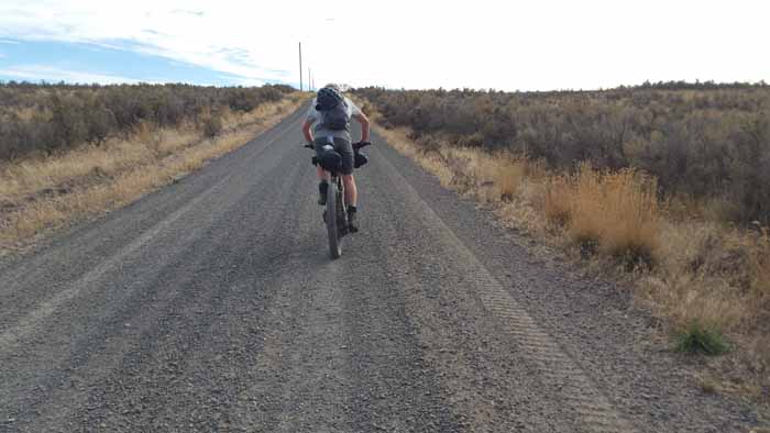
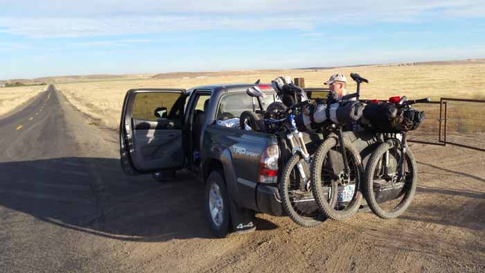
Day 5. Marengo to Tekoa.
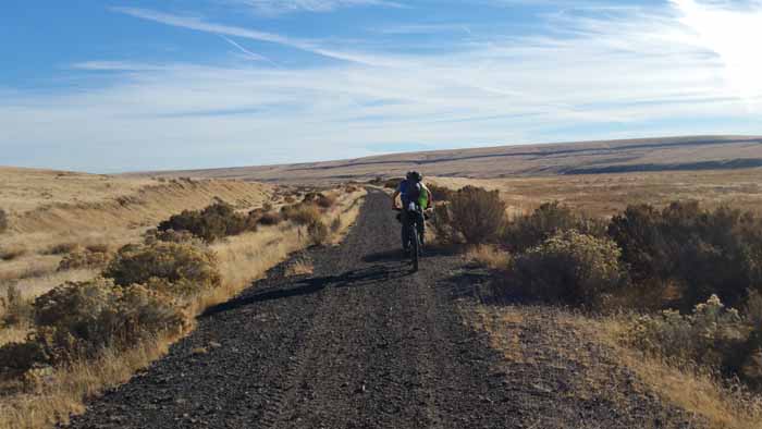
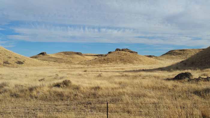
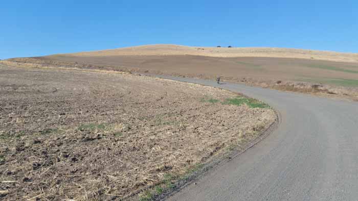
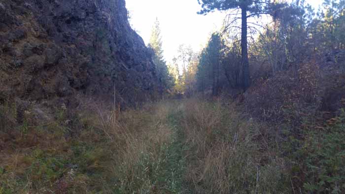
Our last and longest day. What a journey this day was. Such a beautiful area. It quickly became my favorite area of the trip and worth keeping in mind another overnight trip heading west on the trail out of Tekoa for an overnighter.


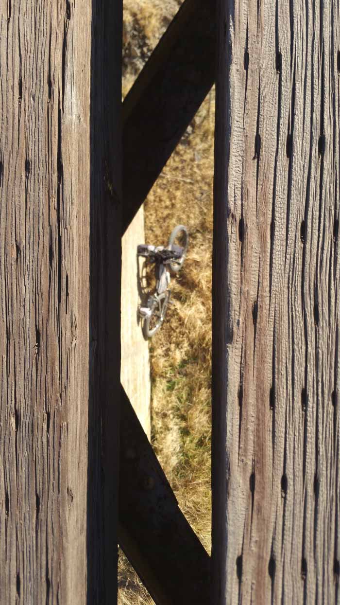
Hmm. I do need some new boots!

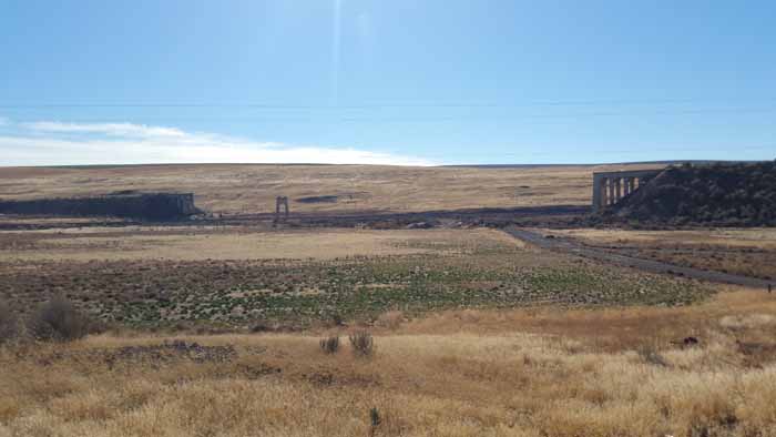
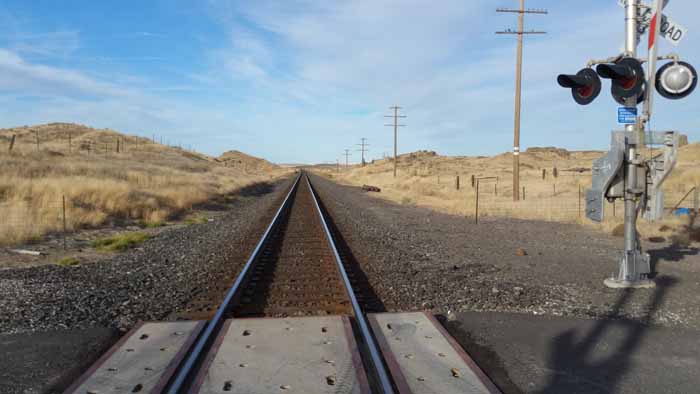
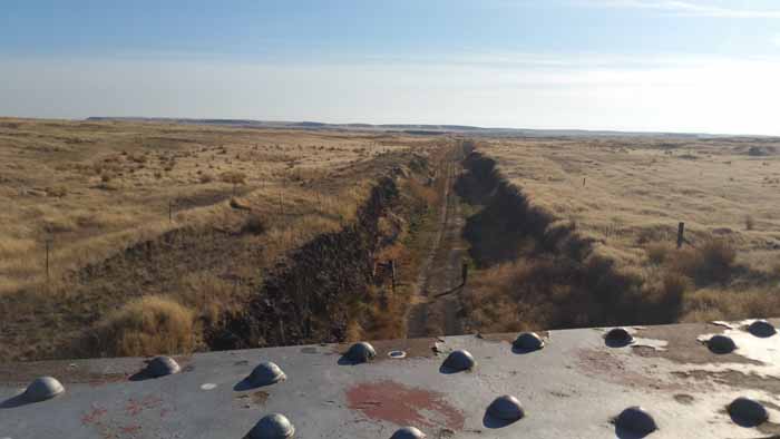
Hard to see in this pic but the railway is elevated about 20 feet or more over the surrounding land. Must have been a boggy marsh or something back when it was constructed.
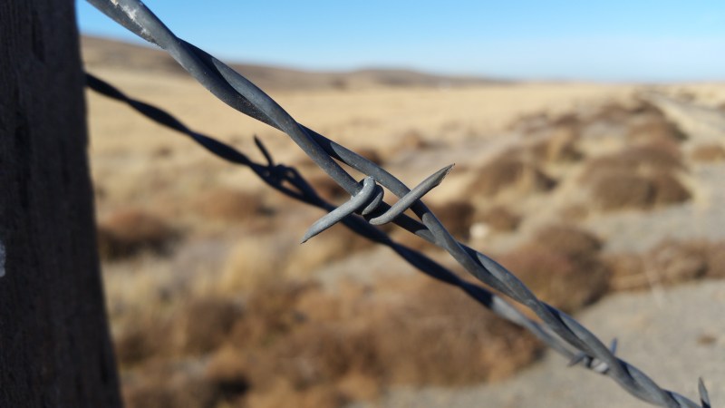
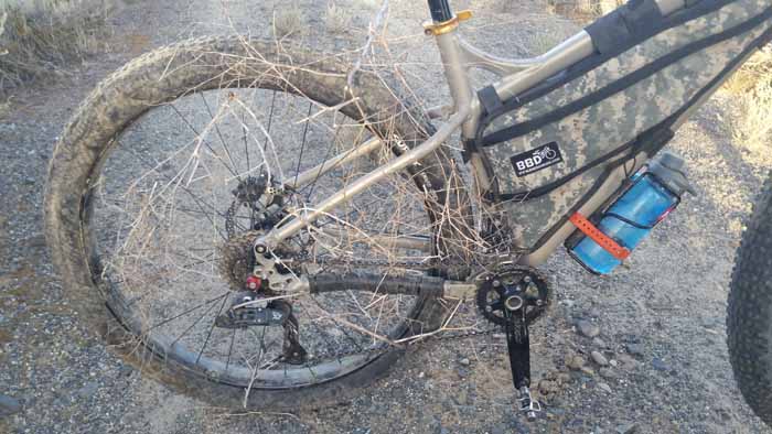
Saw an owl getting chassed out by a few hawks and got some Gopro footage of it hopefully that turned out. We came across a very old fence that was covered in tumble weeds and looked like it hadn’t been moved in years.
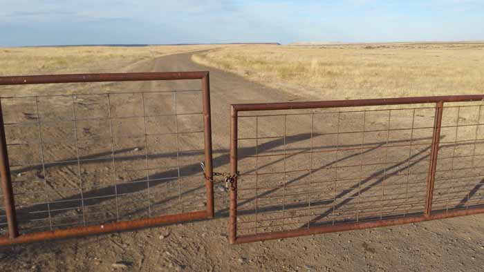
 Felt very wild wild west right here. We had also encountered a locked gate with a padlock that we had to climb over. Turns out State Parks padlocks some of the gates instead of combos and you have to request a key…wawawa. I read that in my “Eastern State Parks” permit info. Which is another story in its own I’ll discuss in a later post. The DNR combo we got didn’t work. Oh well….arms still felt fine so no biggie.


 It is listed on my Delorme map as the Fish Lake Trail. But this is the unfinished sections way south of Cheney and I also see it listed as the Columbia Plateau Trail. But the cool thing is that is goes 10 miles down to Benge and heading north it goes all the way to Cheney. I wonder if one could just ride into Benge and then up the old Railway Fish Lake Trail back to the John Wayne? Hmmmmm. Rock may be very rough though and just not worth it yet, but an option for a longer southern Cow Creek detour”. It’s also a good spot to head north to Spokane if you are taking the train back to Seattle. However, read ahead. You do NOT want to miss the trail from here to Tekoa.
From there we continued on riding some more on the elevated railway part.
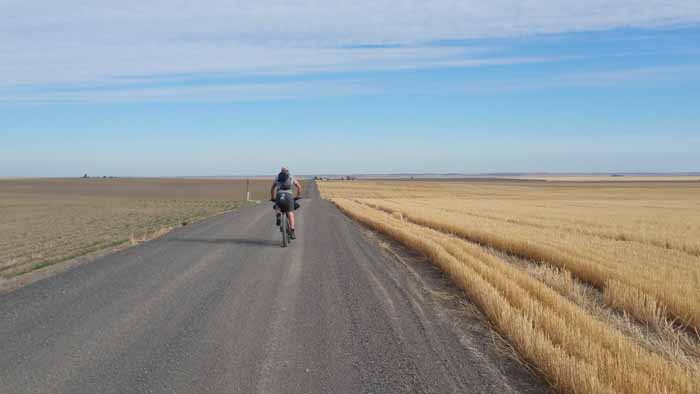
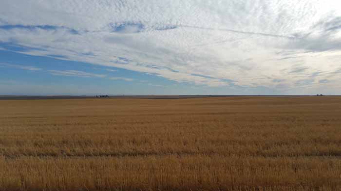
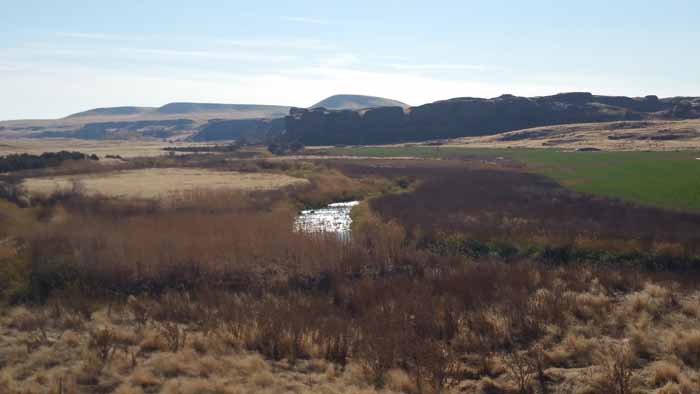
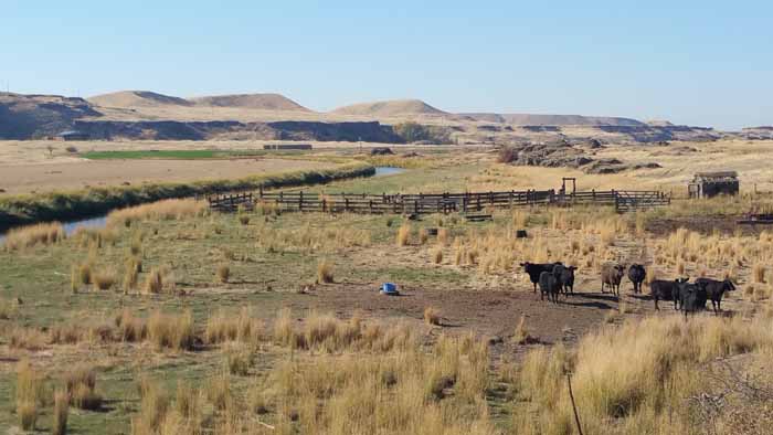
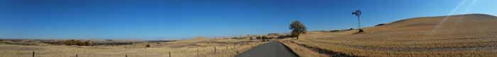
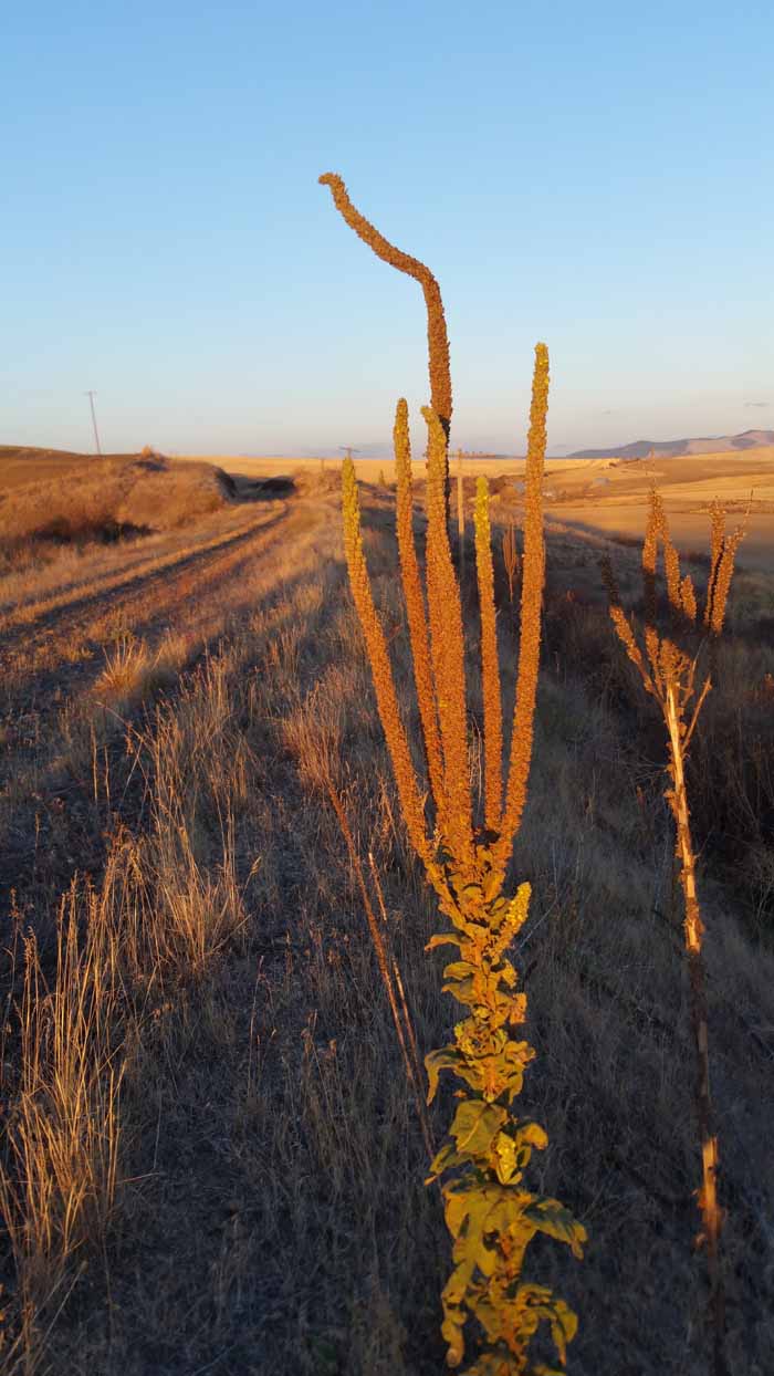
 We eventually came up to a real pretty area that had some nice irrigated farms, cows and our first signs of trees again.
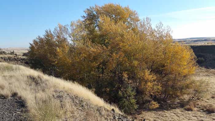
Looks like your standard grove of trees but was our first sign of trees for over a hundred miles so it was pretty neat.

The trail east of Lind is all posted NO CAMPING but Parks specifically told me that it’s OK provided you leave no trace and respect boundaries. No problem!
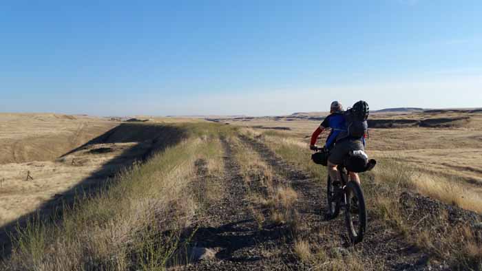
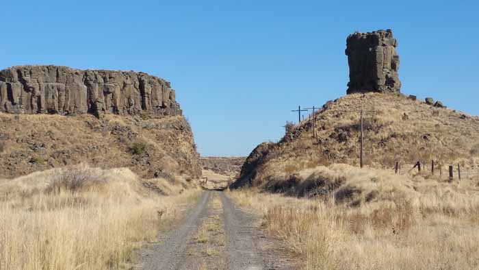
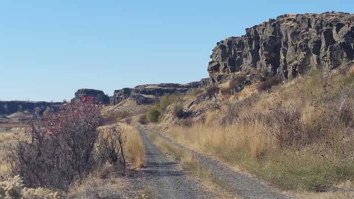
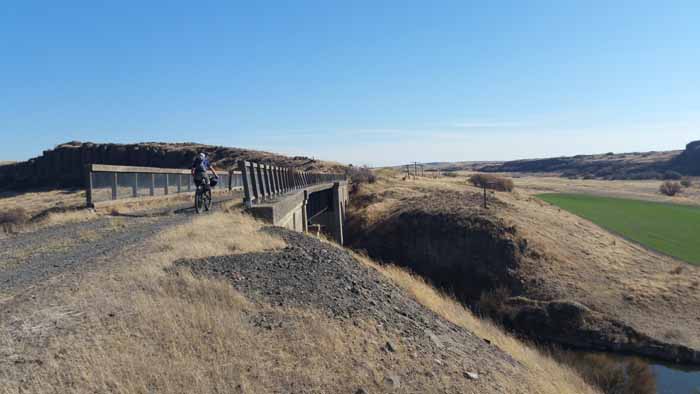
 We saw some hunters out driving their horse trailer setups around. In the distance we could see towering basalt rock towers. They were super cool and really made me feel like I was in Ea Wa, but felt like Utah or something. Lots of nice trail here. We crossed a cool old bridge that appeared to be newer.


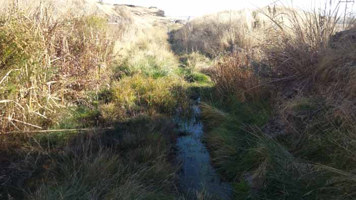
 Just over our left side we saw a coyote running off and a deer standing in a nearby pond below us shivering. I think we interrupted the coyotes dinner….
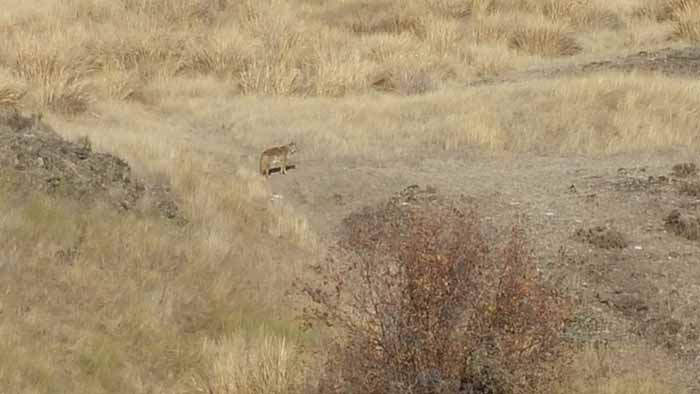
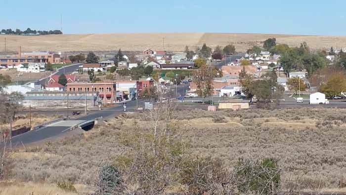
After 25 miles from Marengo we entered the small town of Ewan where we ran into a nice fella driving around on his 4 wheeler out looking for deer. He was super talkative and gave us some beta on the area. We asked him how many people lived in town and he started pointing and counting…was so funny. Totaled somewhere around 20 🙂

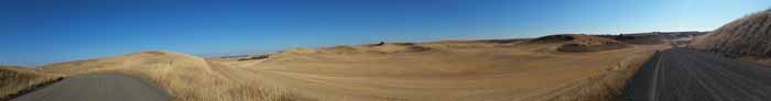
 Ewan would be a safe place to knock on a door and ask to use their hose for water. This was also the start of our Rock Lake detour. This part confuses me. I see all these pics of people riding in the Rock Lake area but we took the listed detour and never saw the lake. Turns out you can ride the entire section of trail by Rock Lake. Many riders have done it with no issue. Some rock fall to go around by the tunnel but otherwise uneventful and no landowner conflict with cyclists. A small sliver in the middle is private property but have been told the landowner is OK with cyclist. They just don’t want people driving on the trail there. Again, another reason to go back. The marked detour however was beautiful. Rolling hills of amber and nice views. Zero traffic. BUT, it was SUPER hilly. Damn thing was like the Alpe D’huez of gravel and grain.


We got down to the northeast end of Rock Lake and that’s when we had to make a call. Go on and finish this thing or camp somewhere. We quickly and smugly decided we had it. We had already ridden nearly 26 miles and we were making OK time. It was another 31 miles to Rosalia where we had another quick detour. (There is a restaurant in Rosalia) I was starting to hit the wall at this point because the ride from Pine Creek at the end of Rock Lake to Rosalia was really rough. Possible water in the grain silo in Pine City. The rock ballast takes it out of ya over a bunch of miles but had some pretty sections of trees. It’s a pretty part of the trail though because it crosses over Pine Creek a lot and the wood trestles were really cool. They were banked up on both sides and almost felt like an old board track.
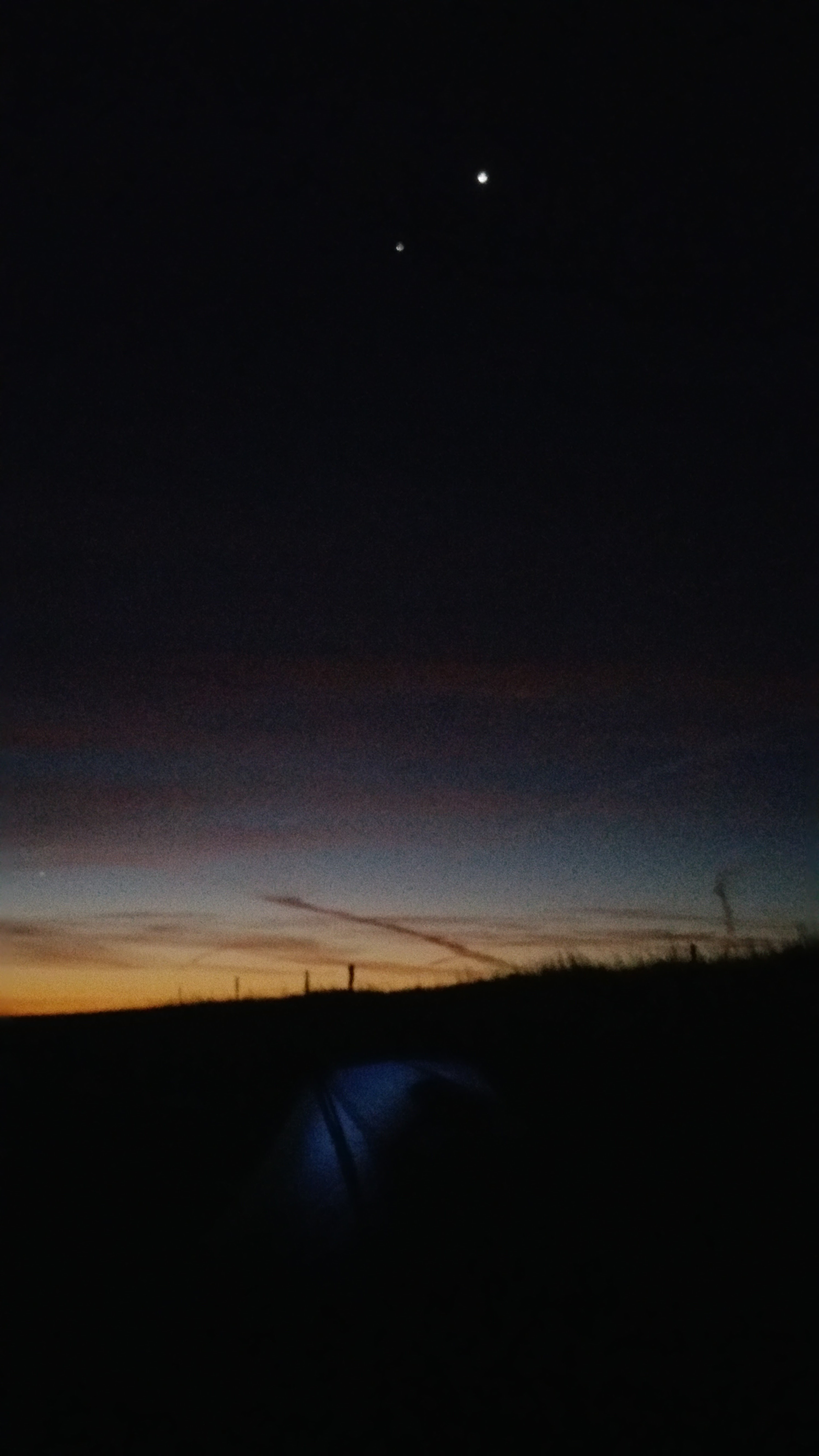
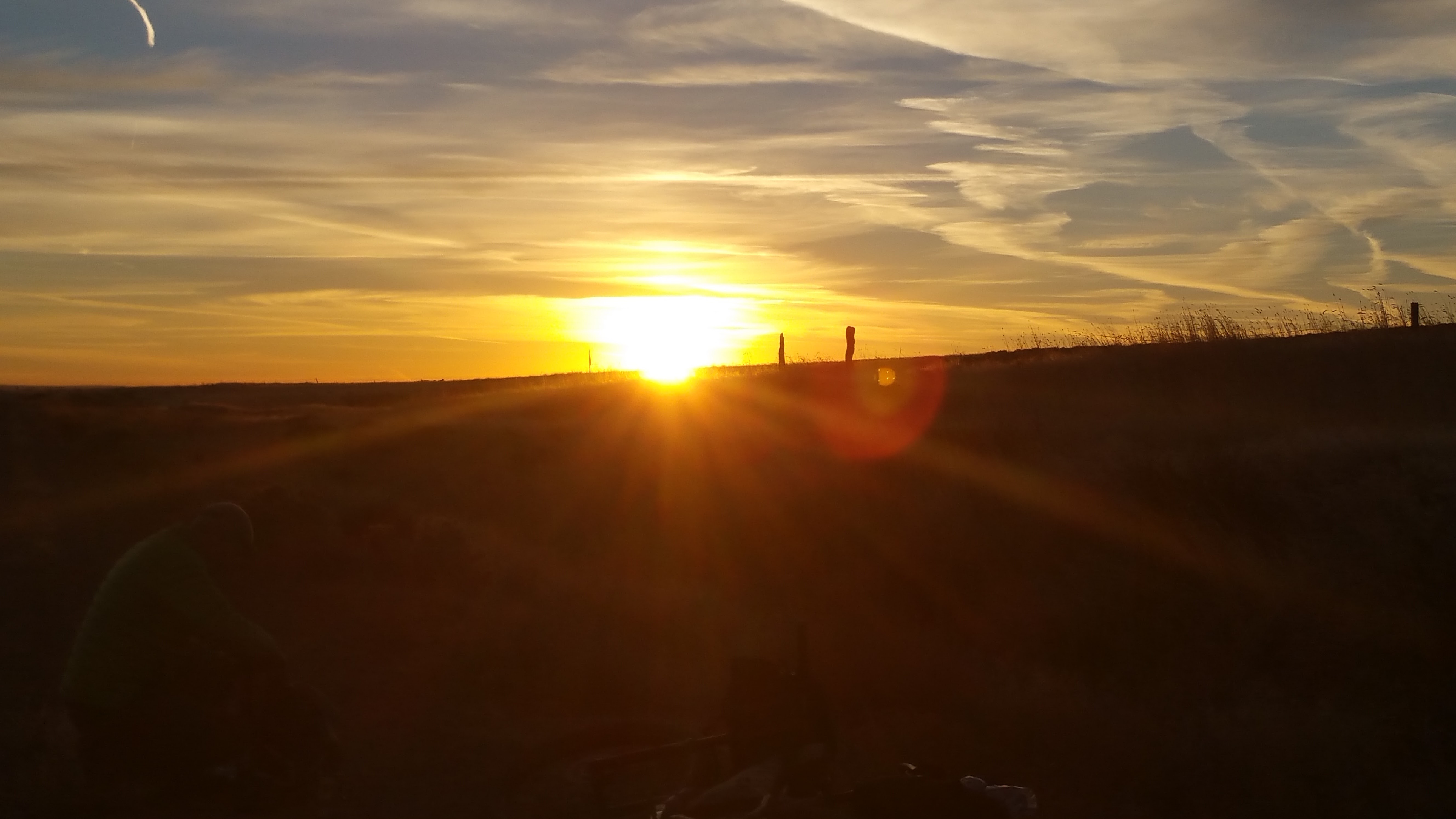
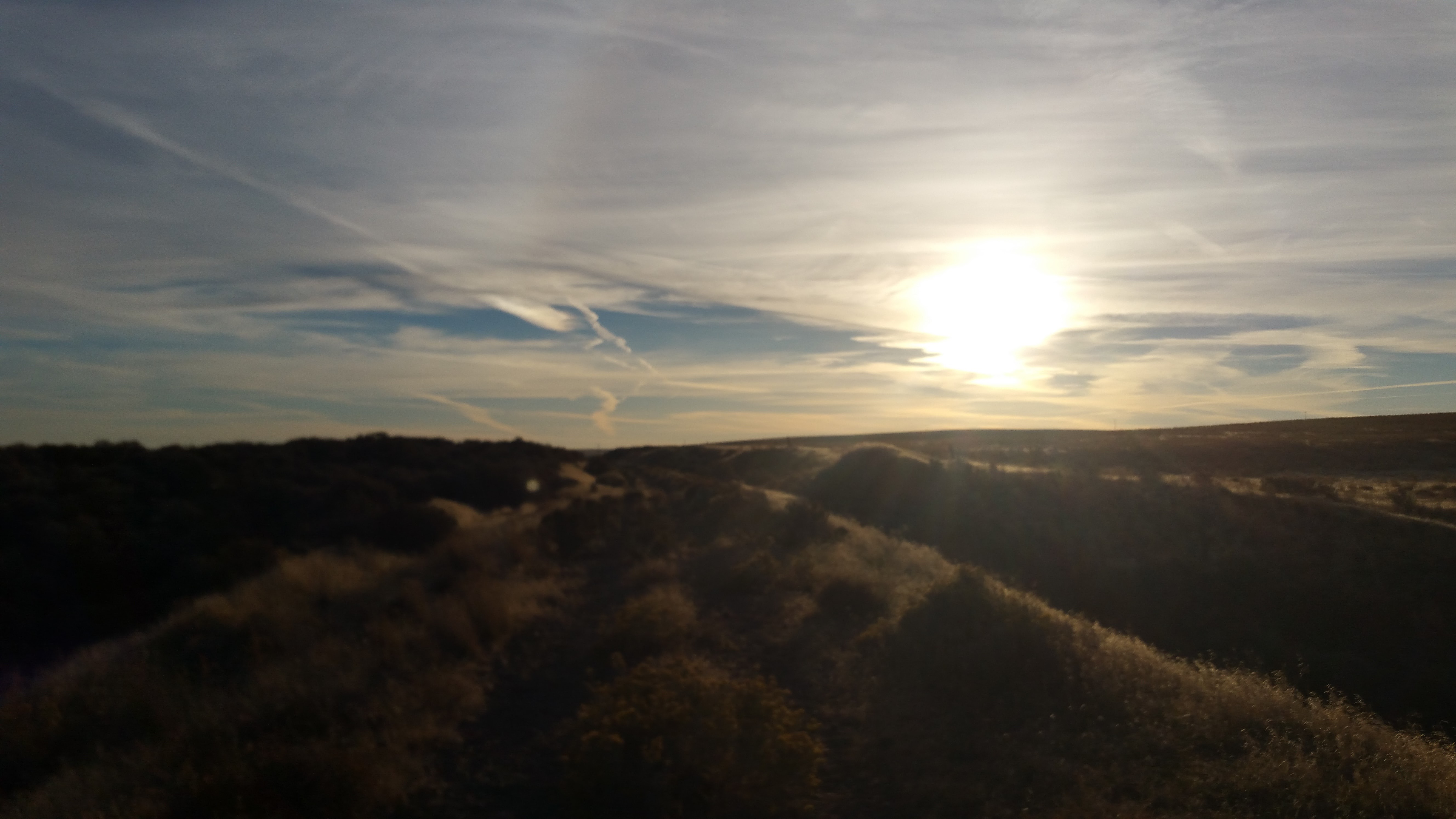
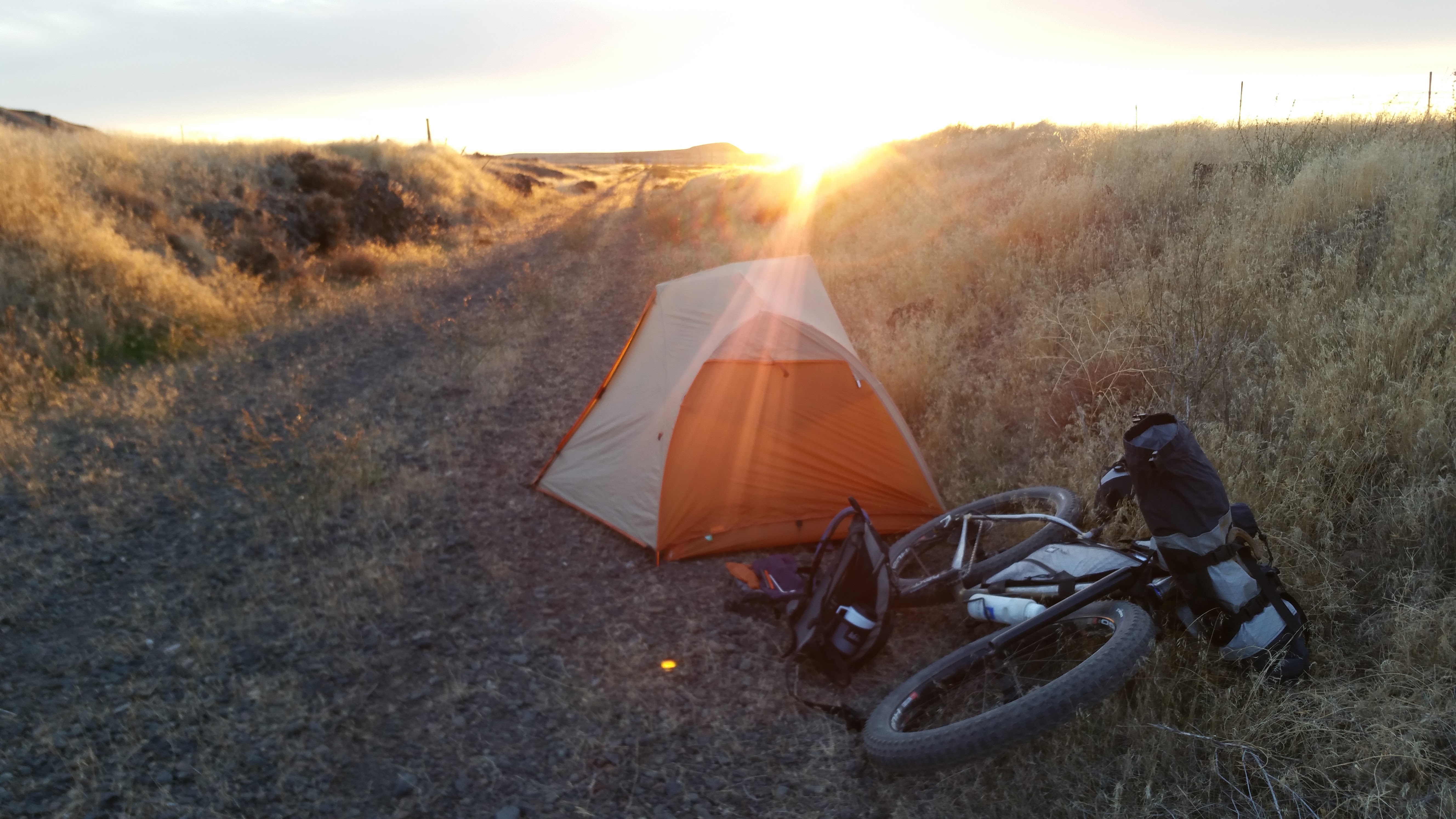
The end of our day was a bit of a blurr. We rode through the sunset on some pretty nice downhill trail and spirits lifted a bit (even though they were never low). We had been riding all day and it was getting super cold.

 We also had to ride with only one light on at a time because I forgot to charge Chris’ light earlier since my battery pack had finally died. It’s hard to ride with one light and swerve around rocks while keeping the trail light for the other guy. All was going OK until we came up to the “Marsh” Lone Pine detour. It looked innocent enough from the map. We got pretty deep into it and the grasses were way over our head and it was dark and cold. We decided to jump out of it and up onto an adjacent road. This was where I though it would be fun to fall in up to my knees in the mush. I was pretty much a Popsicle at this point and everything south of the border was going numb. Not fun. We also decided to just stay on the road into town. This also turned out to be a bad call due to all the climbing involved lol. Yikes. But eventually we were rolling over the last hills and could see our comrades off in the distance. Was a cool feeling to know we were about done. Dave Nelson came down from Spokane and greeted us along with Chris. Some beers and stories were shared then we immediately hit the road back to Leavenworth.
Somewhat anticlimactic but hey what are you gonna do haha. We arrived back in town at 1am to a warm shower and a nice soak in the hot tub in the morning. Life we feeling pretty good! Thanks again Woji for the hospitality!
Total:
- Marengo to Ewan =26
- Ewan to Rosalia =31
- Rosalia to Tekoa =19
- Total: 76 miles and 14 hrs of ride time
- (7:45am to 9:30pm)
Total trip mileage was right at around 300 and nearly 50 hours of riding time. The entire eastern section is super pretty and a very unique way to see our state that you won’t see if driving I90.
Thanks for following along. I plan on posting on a “cliff notes” version of the ride info and my gear as well if you really want to suffer the details 🙂
Read about Day 1 here Day 2 here Day 3 here Day 4 here