
Day 4. Warden to Marengo.
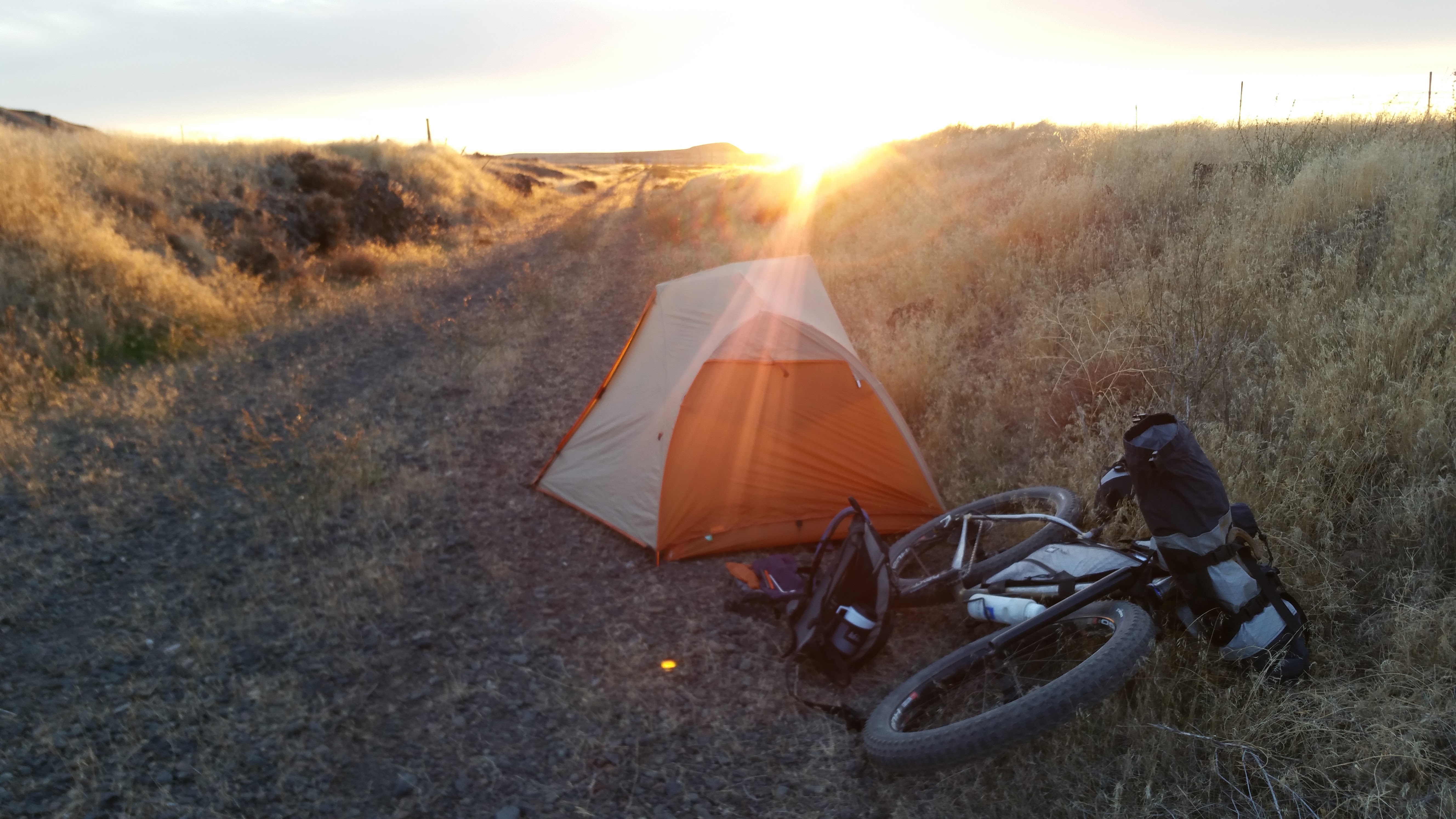
We were really starting to feel it a bit day 4. Me maybe more than Randy. Those hills on the detours took it out of me a little but I still had gas in the tank somehow. We got up and moving around 6 am but it still took us until 7:45 to hit the road. Cold mornings will do that to you. We wake up and start coffee in our tents and sit in our bags organizing gear until some sunshine. Beautiful dark morning with stars along with the sunrise. Got some cool pics of Randy’s tent illuminated next to the sunrise and stars.
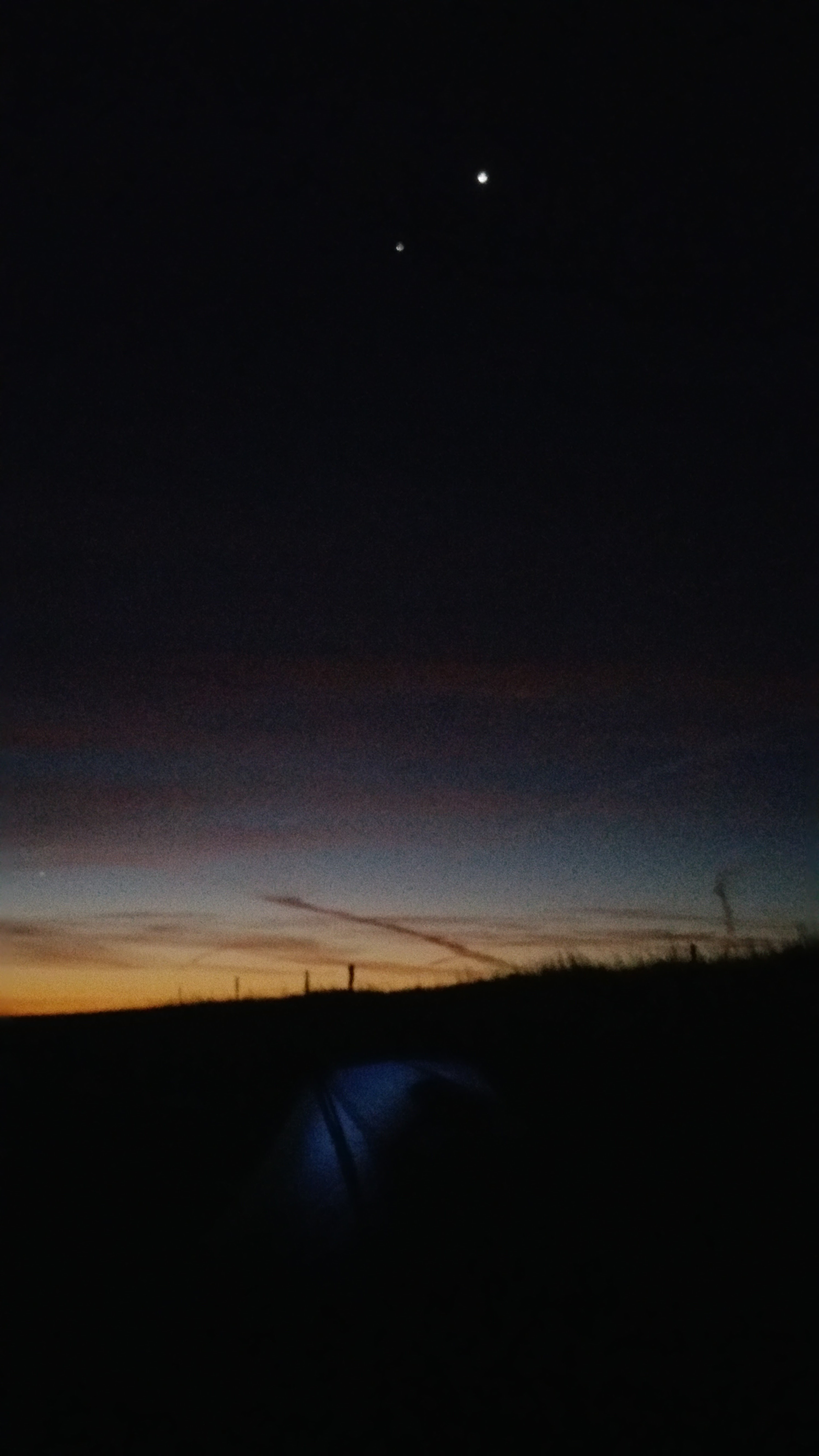
Captured here by total accident is a planet formation called the Planetary Trio. It can only been seen every handful of years at this exact time in the morning. So cool! You can see Mercury down on the very bottom left too…

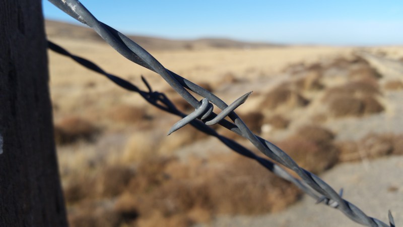
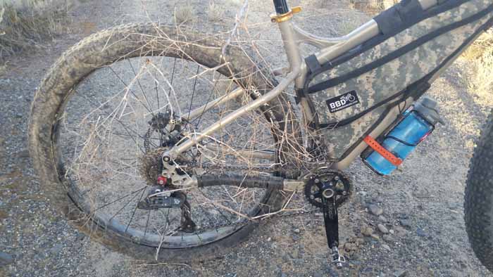
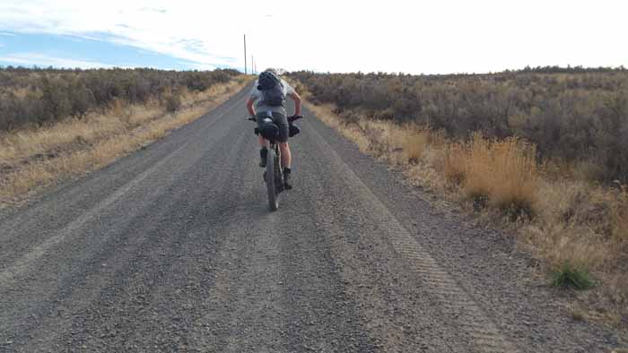
Got rolling and immediately and hit some goat head thorns again but they were pretty uneventful and probably picked up most of them leaving town anyway so no worry ahead of us. Heading to Lind we had a pretty good headwind but it was such a nice morning that it didn’t bother us much. 23 miles into Lind. It’s pretty dry out here so make sure you have a lot of water along the way.
 This is also where we found a sweet Barbie big wheel on the trail and took turns modeling on it.
 We finally encountered our first DNR locked combo gate on the way (which I had the combo for). I was quite excited. Come to find out, we’d only encounter ONE other one in the DNR area. Right after the gate we would ride this really rural and remote section that had a lot of old bridge ride arounds, some of them FILLED with tumble weeds galore, so thick you could almost walk over them. We had a stiff headwind down into Lind.


Yes this IS the trail haha
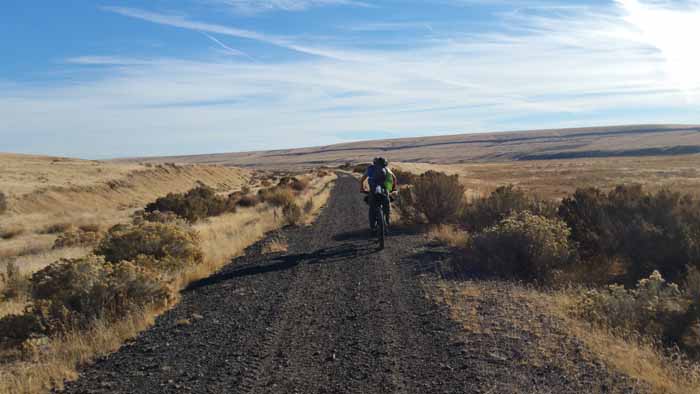
This section of trail was another super pretty section and not a soul around. We had a big partly sunny sky which was nice because if it was totally clear it would’ve been pretty hot.


 Entering Lind, there is a short detour. You can take the pavement into town right off the trail. It’s a short easy downhill reroute right to the edge of town. The trail is detoured due to a large trestle that is down. Next time I’ll go up to it and get some better pictures.
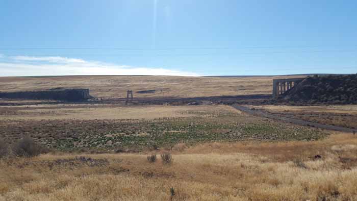
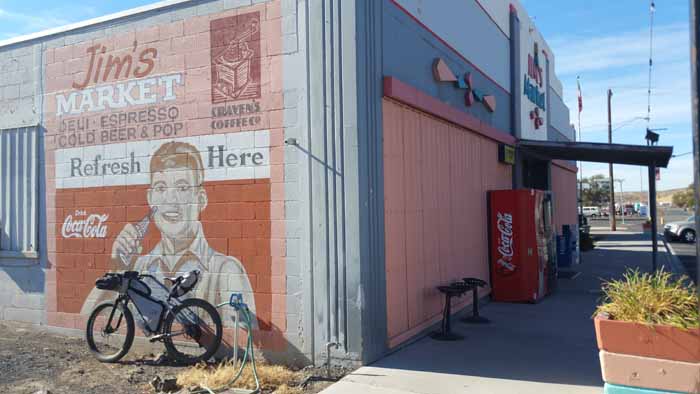
Lind was a cool little town. It had plenty of services, including Jim’s Market where we loaded up on you guessed it, water and chicken fingers and corn dogs. By this time in the trip, I was also looking around the aisles for other things we may need or stuff I forgot that could come in handy. A double pack of cheese danishes was in order.
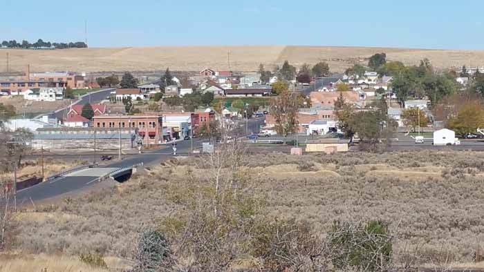
Goodbye,Lind. Thanks for the hospitality!
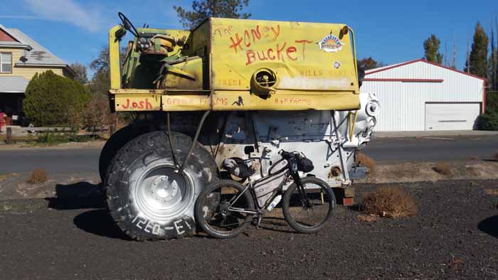
The “Honey Bucket”…nice.
 One fella named the area “The Rubicon”. The rock ballast is super big and rough.


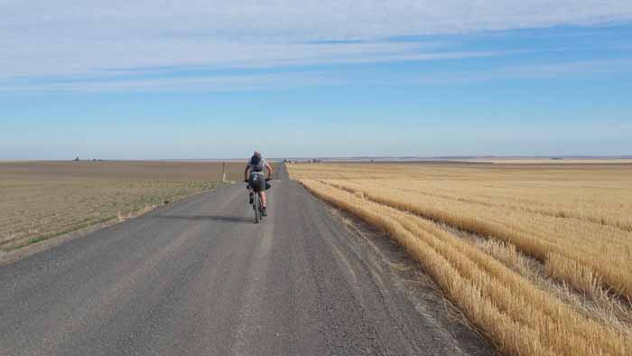
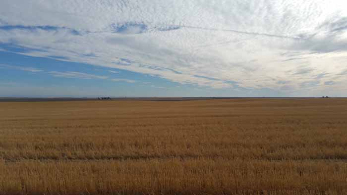
 Once we got near Ralston we decided to try the “south detour” around the Cow Creek trestle that was over private property which you do not want to enter. It was about 9.5 miles to a road we saw on google earth listed as Marengo Rd. Looked legit, Satellite preview showed it clear going by zero homes or buildings. This road had been previously blogged about too but I was a little unsure of that persons outcome. The short detour around Ralston was pretty in it’s own way. Lots of rolling hills of amber. However, I think next time I’d just continue down into Ralston where you decide what kind of Cow Creek detour you want and resupply with water at the memorial park there in town.
 When we arrived at Cow Creek, we noticed the infamous train tracks that Pat and his buddy walked. We knew we were close to our gate.
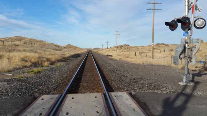
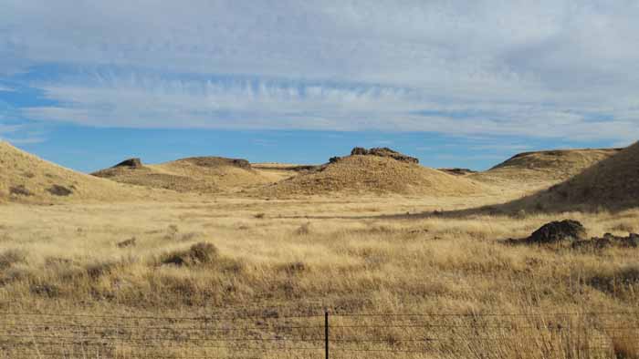
 This area was really cool with all the basalt towers and blue sky. It reminded me a tad of Utah. Once we arrived at our road we were greeted with our fear. A gated and locked road. There is no way to determine this in advance with google earth. It looked clean and clear and free of any private buildings via satellite but no go.
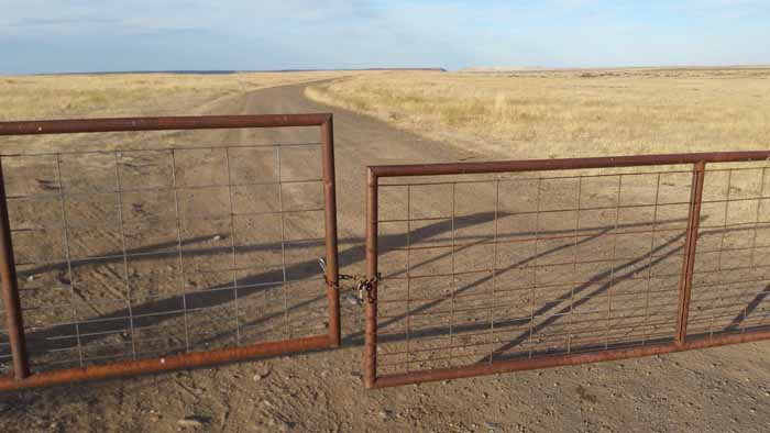 Our only other next option would have been to just walk up the railroad tracks to Marengo. That was doable but we opted for the shuttle since we wanted to see what the ride around from Benge would be like. Well it would’ve made for a VERY long day…super hilly and long, 16 miles or so. Chris had come back from his short trip back home and met up with us to film some drone shots so a ride from him allowed us enough time in the day to view the south detour to Benge.
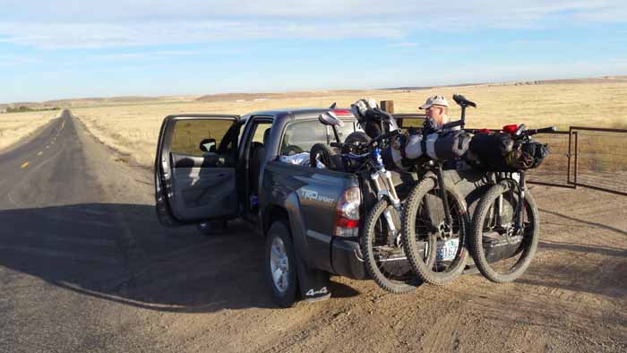


The official detour around Cow Creek is going up to Ritzville which is around 25 miles of pavement again on a busy road. There may have been a shorter north detour but you just never know if those roads will be gated and locked and at that part of the day you just need a sure thing. Backtracking stinks.
Totals:
- Warden to Lind =23 miles
- Lind to Ralston =12 miles
- Ralston to N. Marengo Rd =9.5 miles
- Tracks or dirt road to Marengo =4 miles
- Day total: 46 miles and 7hrs of ride time
- (7:45-4)
Follow along on the rest of the trip:

Greetings – I’ve read yours and your buddies account of the trip. I want to try it next June. Did your sag wagon driver have places to stay or did he go home anytime he left you? Any thoughts on where someone who was shadowing riders would stay?
Also, can you tell me again where you got your permits through? And can you suggest some maps that would better show state roads vs. private roads?
Thanks,
Jack
LikeLike
Hi Jack. Our friend Chris stayed with us the first night in Ellensburg and then went back home to Leavenworth for a few days. He returned on the 4th day and camped with us on the trail that night. Someone following would have to do some commuting if they were not camping with you. You’d have to book hotels in Ellensburg, Othello, Rittsville or Spokane and drive back and forth a bit.
You need two permits, One from the DNR for the section from Beverly to Lind and one from WA Parks for Lind to Tekoa. I’ll post links with all this info after I post the day 5 blog post. I’ll have them up in a few days!
LikeLike